ASHEVILLE, N.C. (828newsNOW) — Western North Carolina residents should brace for strong winds and pockets of snow, especially near the Tennessee border, as the region experiences blustery conditions Wednesday into Thursday.
The National Weather Service in Greenville-Spartanburg issued wind advisories in effect from 10 a.m. Wednesday to 10 a.m. Thursday for higher elevations above 3,500 feet in multiple counties, including Swain, Haywood, Buncombe, Graham, Avery, Madison, Yancey, Mitchell and portions of Jackson, Macon and Transylvania counties.
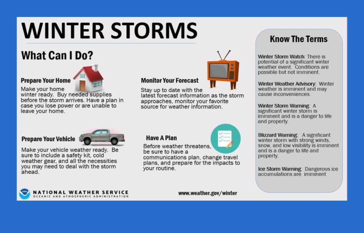
A winter weather advisory is also in effect from 1 p.m. Wednesday to 10 a.m. Thursday above 3,500 feet in parts of Avery County and other northern mountain areas. Forecasters said northwest flow snowfall could bring 2 to 5 inches near the North Carolina-Tennessee border. Lower elevations farther from the border are not expected to receive significant accumulation.
Gusty winds will develop this morning and continue through the evening, forecasters said. Most lower elevations are expected to experience gusts of up to 30 mph, while higher elevations are forecasted to see gusts of 30 to 40 mph.
Temperatures are expected to rise into the 50s in areas below 3,500 feet Wednesday afternoon. Snowfall along the NC/TN border is likely to wind down by early Thursday morning, with only lingering flurries in northern mountain areas.
High pressure will return Thursday and persist into the weekend before another arctic cold front moves through early Sunday. Forecasters expect below-average temperatures Thursday, with highs 5 to 10 degrees below normal.
Weather forecast
- Tonight: A chance of rain before midnight, then a slight chance of rain and snow, mostly cloudy, low near 26. Northwest winds 14-16 mph, gusts to 32 mph. Chance of precipitation 30%. Little to no snow accumulation expected.
- Thursday: Mostly sunny, high near 39. Northwest wind 10-15 mph, gusts up to 31 mph.
- Thursday night: Partly cloudy, low around 23. North-northwest wind around 5 mph, becoming calm.
- Friday: Mostly sunny, high near 54. Calm wind becoming west 5-7 mph in the afternoon.
- Friday night: Partly cloudy, low around 29.
North Carolina Emergency Management reminded residents that cold weather can cause frostbite or hypothermia. Frostbite can freeze skin, causing redness, numbness or stiffness, while hypothermia occurs when core body temperature drops below 95 degrees, potentially leading to confusion, slurred speech, or a weak pulse. For more information, visit ReadyNC.gov/winter-weather