ASHEVILLE, N.C. (828newsNOW) — Meteorological fall officially began Monday, the U.S. National Weather Service in Greenville-Spartanburg announced.
Unlike astronomical fall, which is based on the Earth’s position relative to the sun, meteorological fall is determined by the annual temperature cycle. Forecasters say the change in season brings cooler temperatures and colorful foliage.
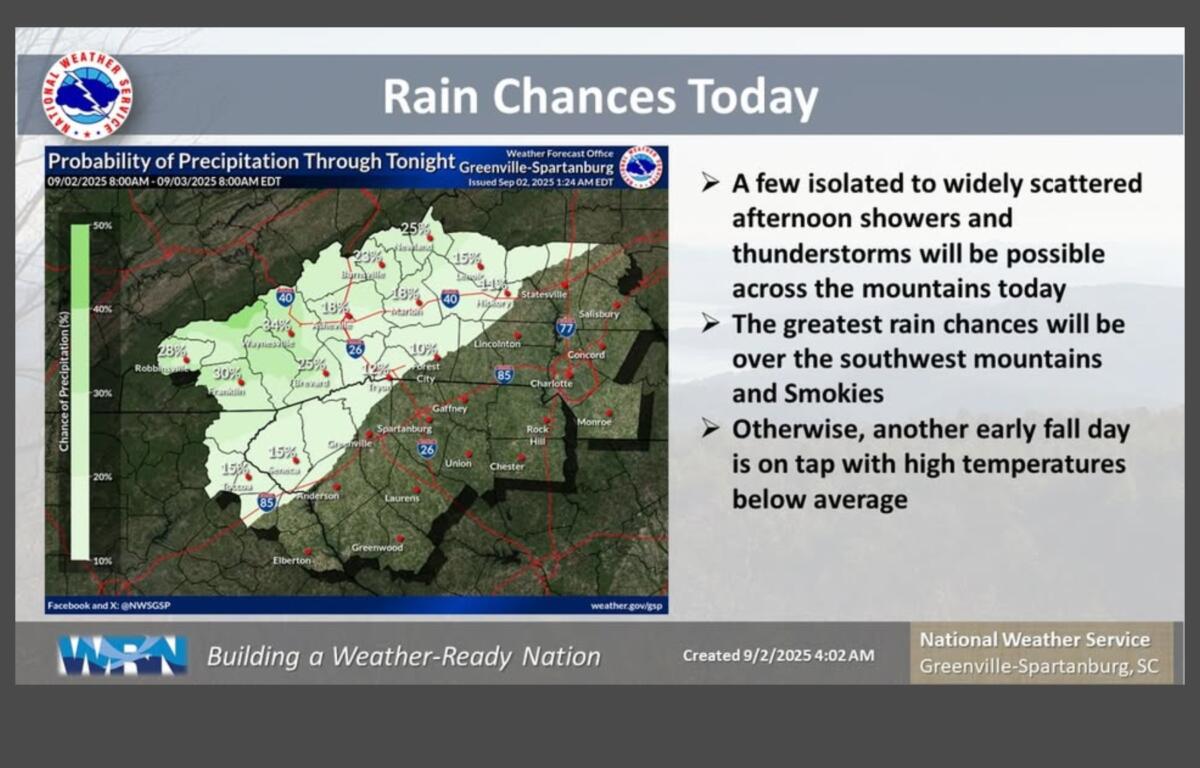
The National Weather Service said temperatures are expected to remain below average through Thursday, with highs in the 70s in many areas. Isolated to widely scattered showers and thunderstorms are possible in the mountains, especially in the afternoons.
“It will feel more like Oct. 2 than Sept. 2,” the service saidTuesday, noting that below-normal highs and humidity should make for pleasant conditions.
High pressure along the East Coast is keeping conditions mostly dry, except for mountain and foothill showers that may return Wednesday. A weak cold front approaching from the northwest Thursday could trigger another round of showers and thunderstorms. By the weekend, an upper ridge moving eastward from Texas could bring warmer temperatures.
Forecast summary:
- Tuesday: Mostly sunny, high near 77 with a 20% chance of afternoon showers or thunderstorms. Low around 56.
- Wednesday: Partly sunny, high near 76 with a 40% chance of showers and thunderstorms after 11 a.m. Low around 56.
- Thursday: Mostly sunny, high near 80. Showers and thunderstorms possible after 5 p.m.; 60% chance of precipitation. Low around 59.
- Friday: Sunny, high near 86.