ASHEVILLE, N.C. (828newsNOW) — The North Carolina Department of Environmental Quality has launched an online tool to show E. coli levels in rivers, creeks and other surface waters across Western North Carolina.
The mapping tool, part of the WNC Recreational Water Quality Program, displays bacterial monitoring results from the Division of Water Resources. It identifies sites where E. coli concentrations exceed guidance levels for swimming, snorkeling, kayaking, tubing, and other recreational activities.
“Elevated E. coli levels can indicate potential fecal contamination, which has been linked to gastrointestinal illness,” the department said.
Under the program, surface waters are sampled weekly from May through September and analyzed at DEQ’s Asheville Regional Laboratory using Colilert-18 methodology. Results are posted the following day. DEQ notes that all data on the dashboard are preliminary and that water quality can change rapidly, especially after rainfall.
The department said the results are measured in Most Probable Number (MPN) per 100 milliliters, a method comparable to colony-forming units. Values above 126 MPN/100 mL are considered a risk for primary recreation, such as swimming and snorkeling. Secondary recreation, including activities with less water immersion like tubing or kayaking, has a risk threshold of 886 MPN/100 mL.
Some recent sample results from across the region include:
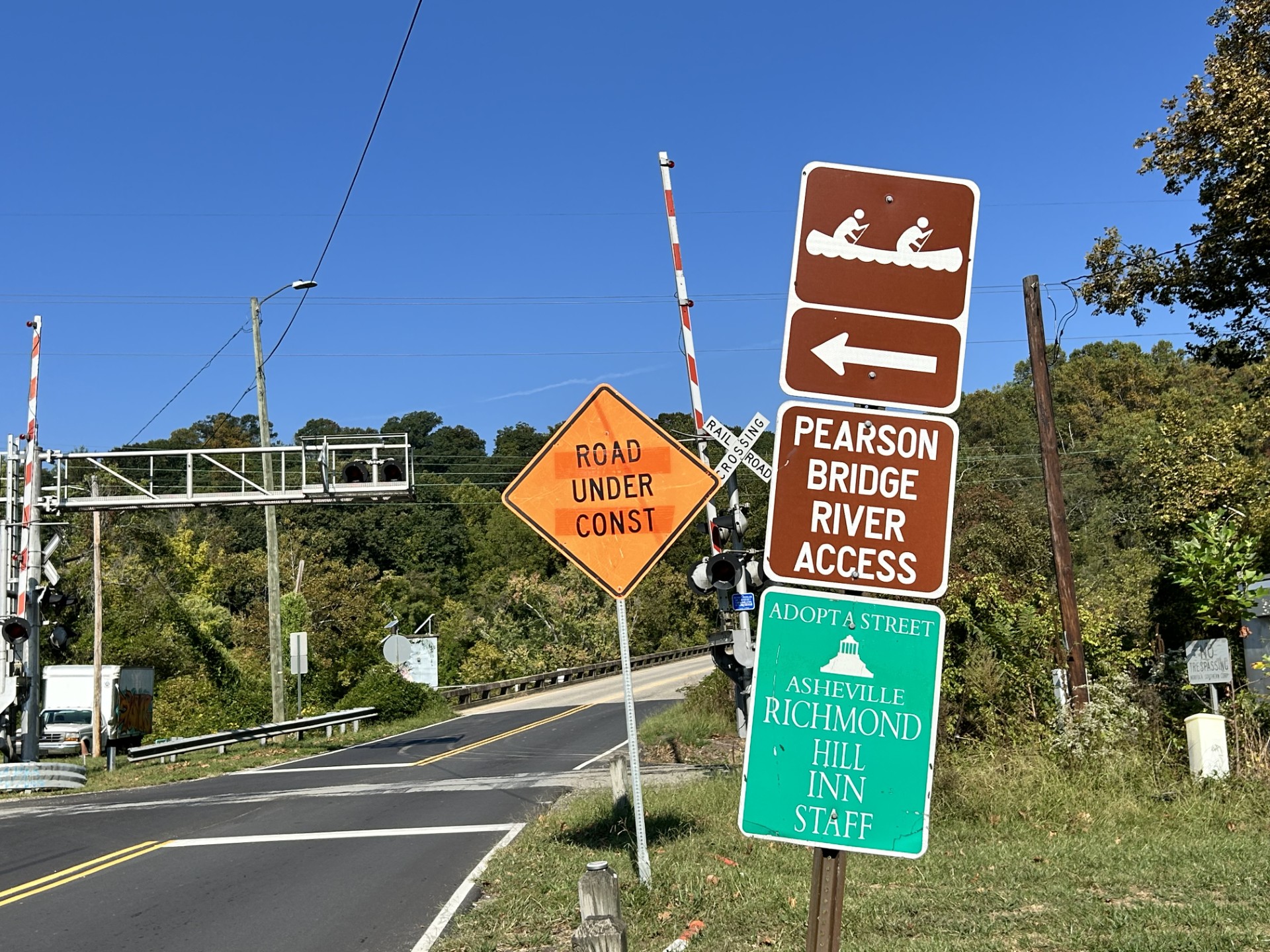
- French Broad at Pearson Bridge: 204 MPN/100 mL
- Biltmore Village Dog & Community Park: 1,380 MPN/100 mL
- Cane Creek Park: 9,680 MPN/100 mL
- French Broad at Horseshoe Boat Access: 7,950 MPN/100 mL
- Walmart Dog Park: 922 MPN/100 mL
- River’s Edge Park (Pigeon River): 687 MPN/100 mL
- Bent Creek River Park (French Broad): 488 MPN/100 mL
- Bill Moore Park: 9,680 MPN/100 mL
- Mills River Park Boat Access (snorkel trail): 1,730 MPN/100 mL
The program is a partnership between DEQ, Mountain True, Swannanoa Watershed Action Network and the Watershed Association of the Tuckasegee.
Recreators are advised to follow North Carolina Department of Health and Human Services guidelines and post-storm guidance before engaging in water activities.
The mapping tool and full results are available here.


